Everyday, cities are collecting an abundance of data and information. But after it's collected, how can they make it useful to their community?
We worked with the city of Broomfield, Colorado on a variety of digital tools to activate their underused civic data and made it accessible to everyone in their community.
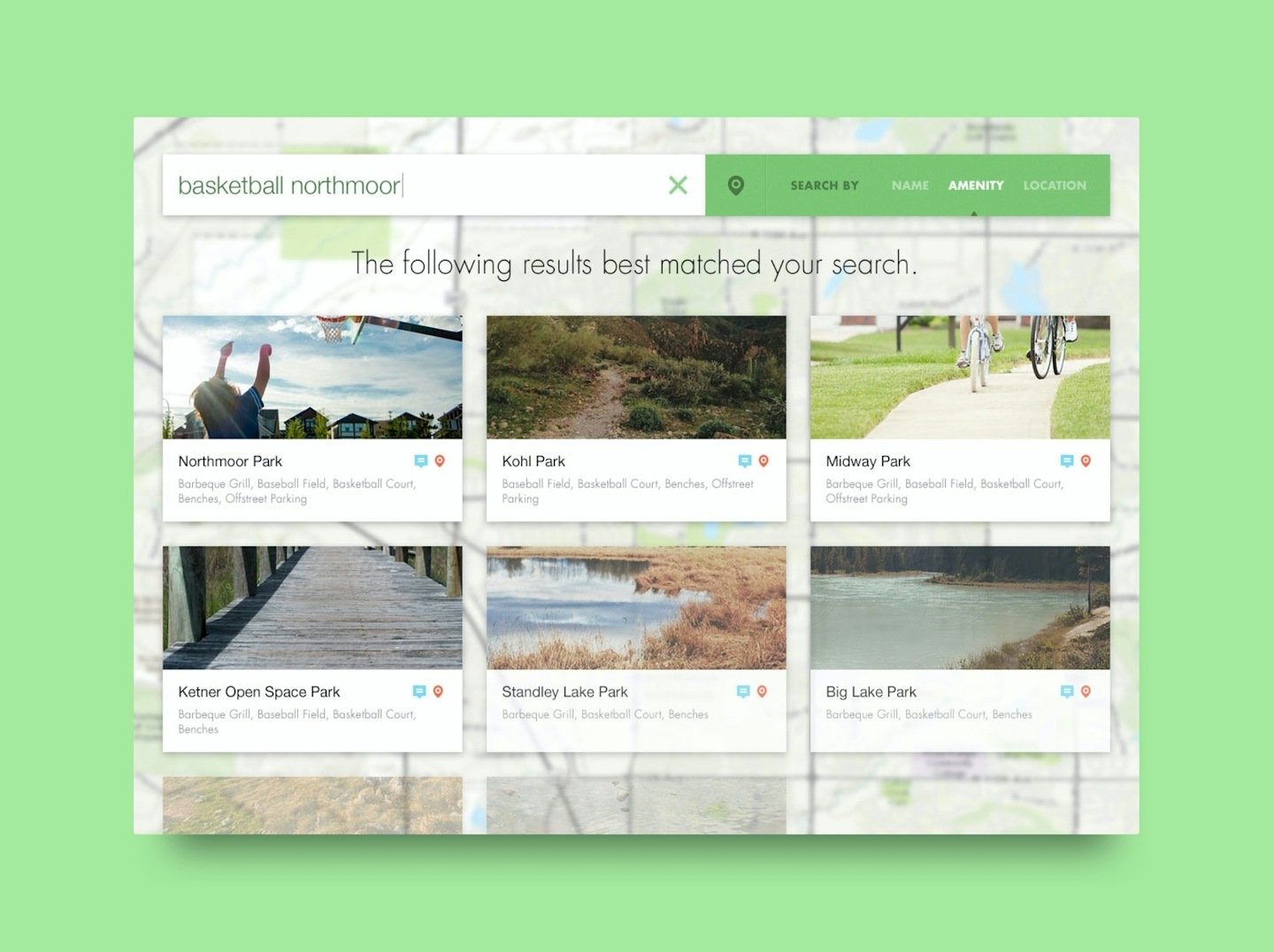
Working with the maps and GIS department of the city, we connected to internal Parks and Open Spaces ESRI servers, and created an interactive app allowing people to search, explore, and plan trips within the city's vast park and trail system.
Wireframes
Interface Design
Full-Stack Development
Map & Interface Development
API Integration

Subscribe here to get our short and sweet monthly newsletter!